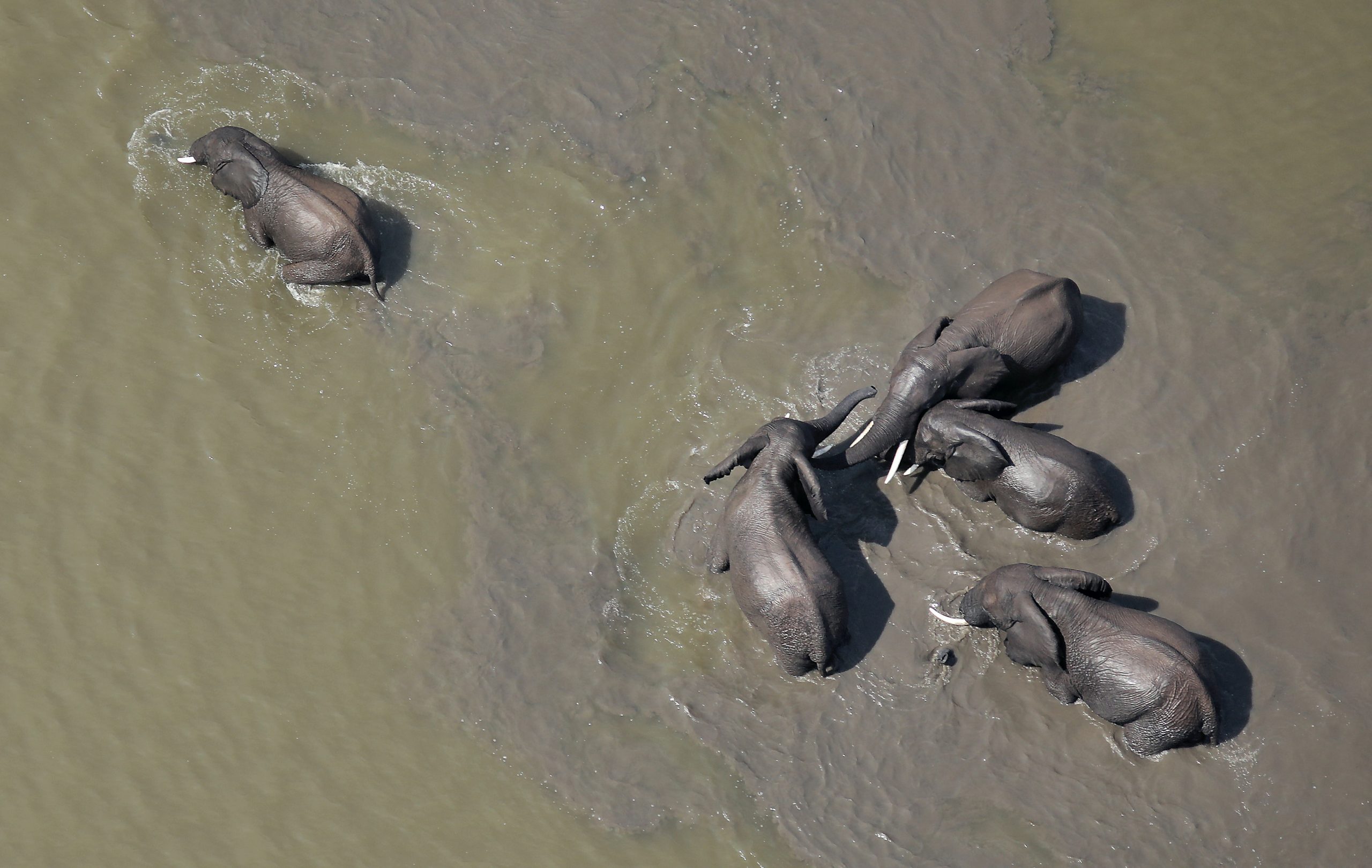
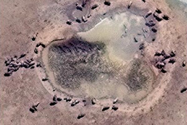
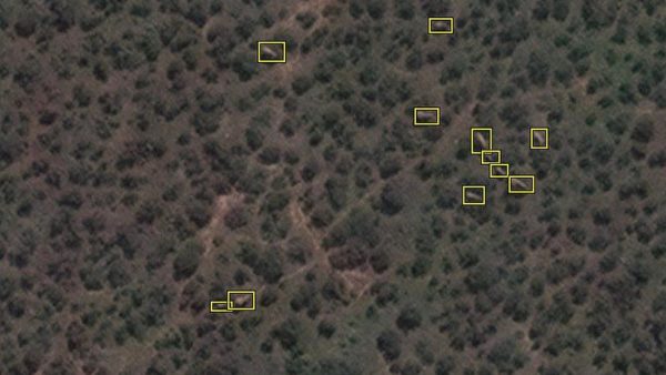
Satellite counts African elephants from Space
A satellite can capture over 5,000 square kilometers in a few minutes.

Kathmandu, January 21. A team of international researchers led by the University of Oxford have developed a new unobtrusive approach to surveying wildlife species using Satellite monitoring and artificial intelligence(AI). They have successfully conducted a survey on African elephants using this technique.
In the research article published in the Journal Remote Sensing in Ecology and Conservation, the researchers have described that a satellite can capture a series of high-resolution imagery over 5,000 square kilometers in a few minutes. This not only saves time but also secures human safety and prevents double counting.
The researchers constructed a dataset of over 1000 south African elephants to train the AI system. This enabled the AI machine to accurately trace elephants in the satellite imagery.
The researcher claimed that their machine can also be used for anti-poaching surveillance.
Click here to read the detailed research article entitled “Using very‐high‐resolution satellite imagery and deep learning to detect and count African elephants in heterogeneous landscapes” published in Remote Sensing in Ecology and Conservation on December 23, 2020.


Also Read,
Scientists discover 99-million-year-old beetle that produced light with its abdomen
Facebook Comment
latest Video
Trending News
- This Week
- This Month


